

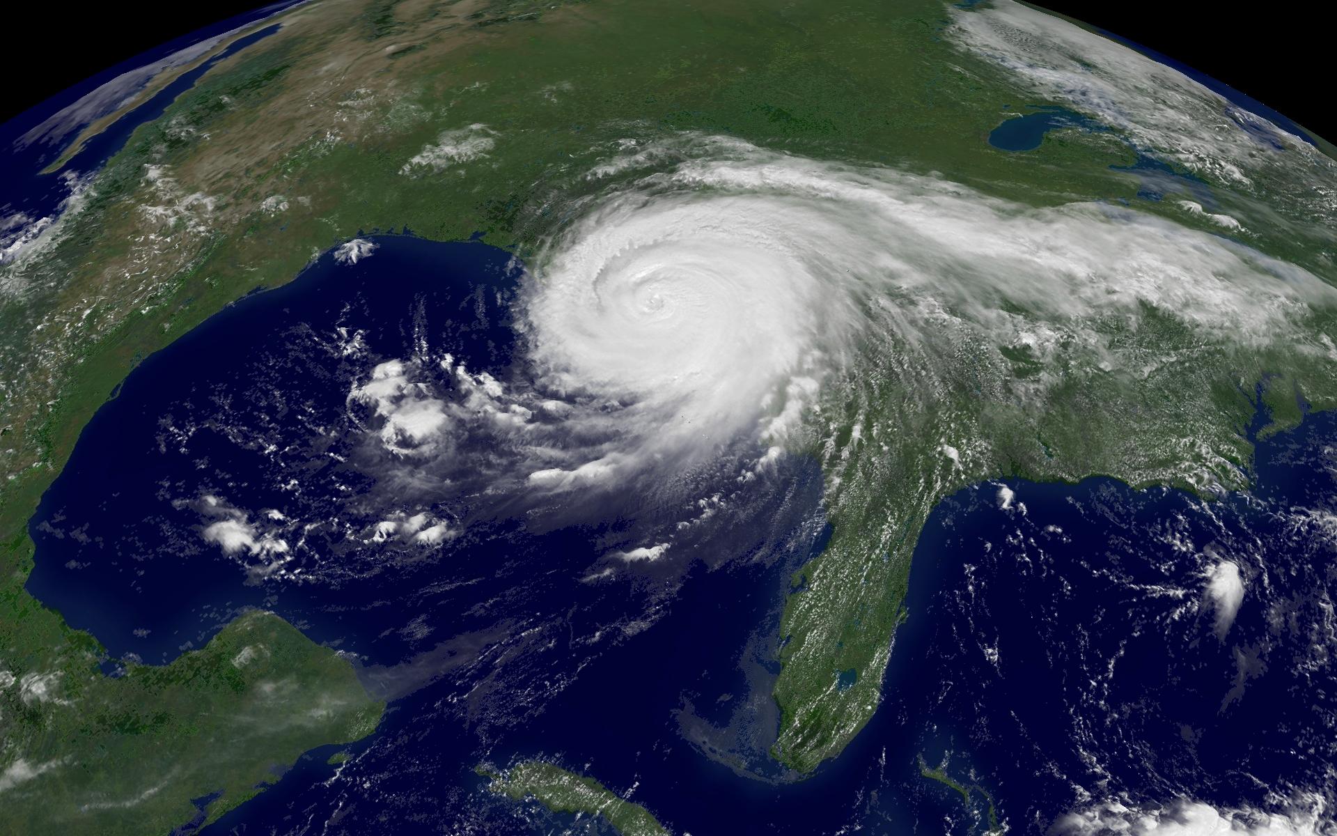


The images above are high resolution images of Hurricane Katrina. Click on the thumbnails to get enlarged images. To save images right-click and click on “save as.” There are seven satellite images displaying different stages of the storm and two before / after shots of New Orleans. Some of these images came from MODIS and DigitalGlobe. If you have any other good images please post some links to them in the comments. Update: (09/01/05) I just added in 3 new satellite images of New Orleans. Looks like theres a ton of damage, looks very similar to the damage caused by the Tsunami in Asia. Update: (09/02/05) lots of traffic thanks to Digg and Google. Update: (09/03/05) Google Maps has updated their satellite imagery (08/31/05) for New Orleans. (Better quality with Google Earth)
Link: MODIS | Digital Globe
Related: Google Earth
Donations: RedCross


^^^ those images r amazing. google earth also updated some so take a look. i just posted this to digg so digg it digg article